Mapping & fieldwork
Consultancy
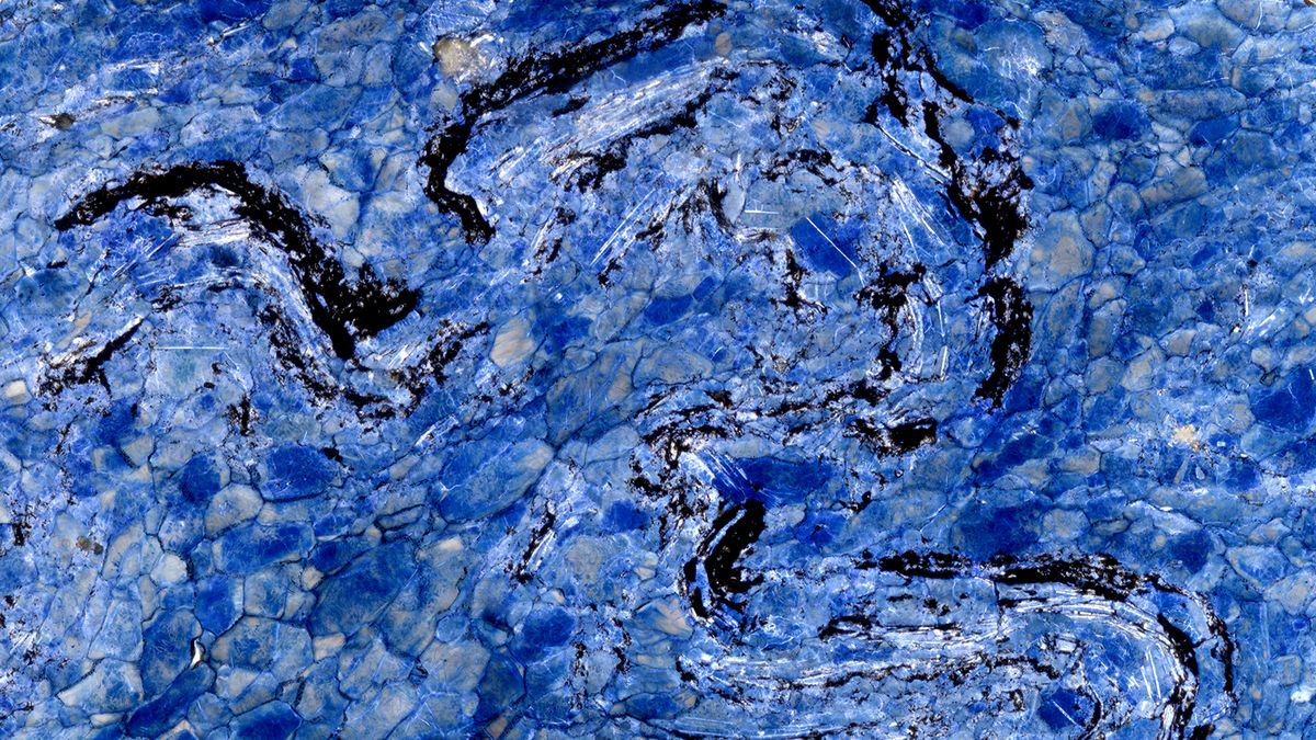
Salt tectonics
Specialist consultancy on salt structures, evaporite systems and their implications for energy and storage.
Learn more →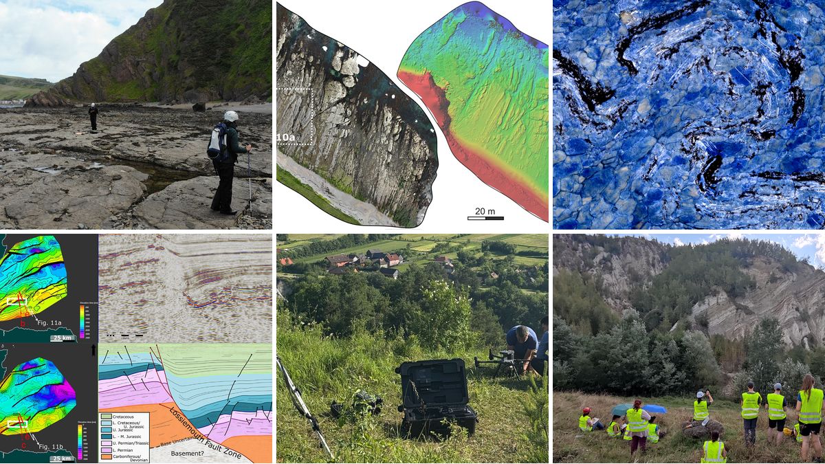
Structural geology
Expert advice on structural geology problems, from complex deformation to field and subsurface studies.
Learn more →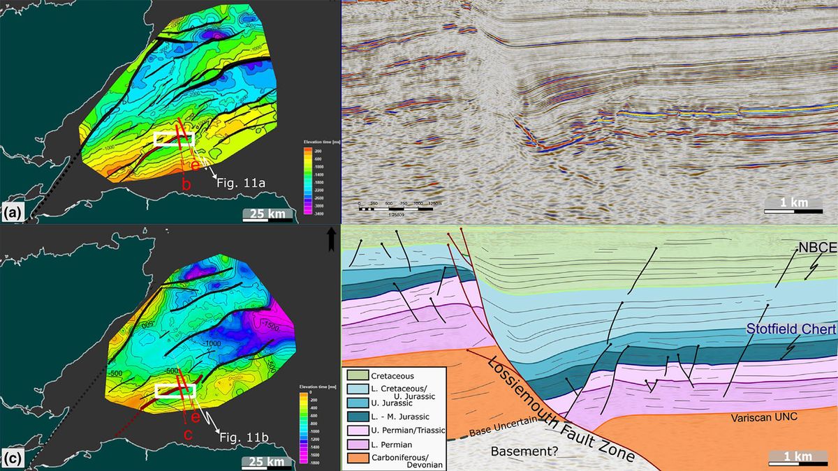
Seismic interpretation & well-log correlation
Seismic interpretation and well-log correlation to build robust structural and stratigraphic frameworks.
Learn more →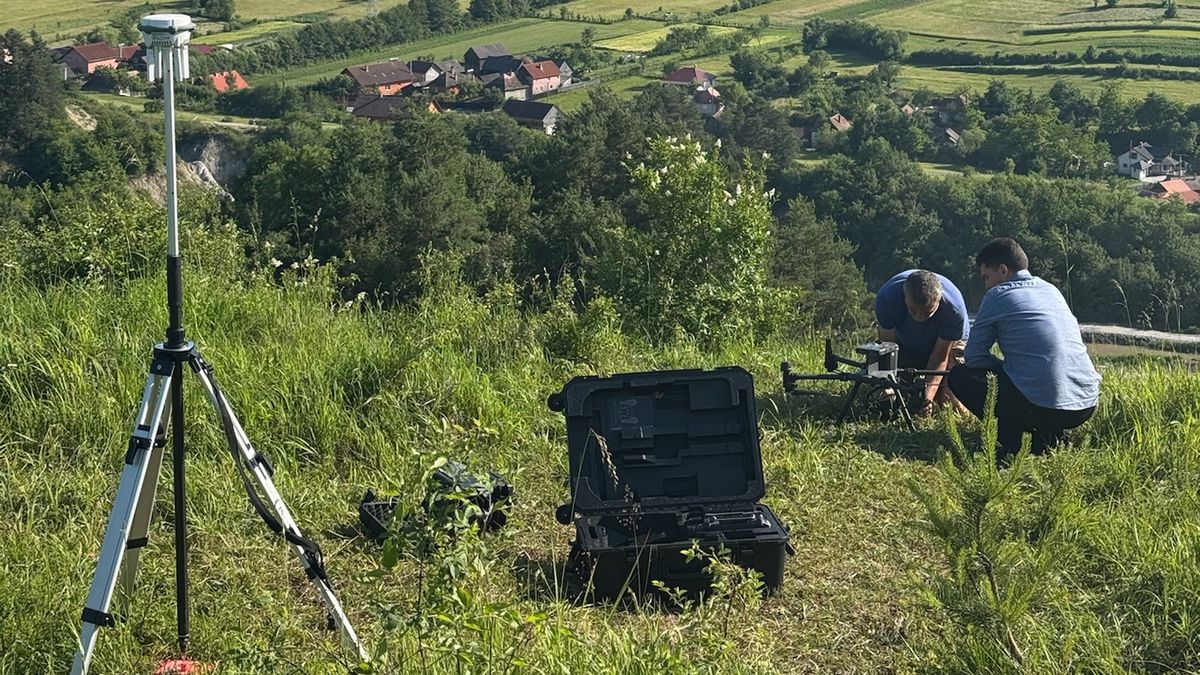
Applying Drones in Geosciences
Independent advice on how to bring drones into your geoscience workflow — what they can deliver, and the equipment and fleet you actually need.
Learn more →Field Trainings/Courses
Injectites & fluidization
Sand injectites in a hydrocarbon-rich fold and thrust belt — world-class outcrop analogues in the Eastern Carpathians Bend Zone.
Learn more →Petroleum system of the Romanian Carpathians
World-class analogue outcrops of a full petroleum system — reservoir, source, seal and trap — in the Eastern Carpathian Bend Zone, one of the world's oldest oil provinces.
Learn more →Salt tectonics in the Carpathian Bend Zone
Salt tectonics of the Eastern Carpathian Bend Zone — from the folded galleries of the Slănic Prahova salt mine to the Mânzălești diapir, the largest rock-salt outcrop in Europe.
Learn more →Salt tectonics in the Romanian Carpathians
A comprehensive traverse of the salt of the Romanian Carpathians — four salt mines and the Mânzălești diapir, across the Diapir Fold Zone and the Bend Zone.
Learn more →Salt tectonics in the Transylvanian Basin
The salt of the Transylvanian Basin, read at first hand in the Turda salt mine and at the Sovata and Praid outcrops — internal deformation, heterogeneity and implications for energy storage.
Learn more →Geothermal systems
The structural and stratigraphic controls on geothermal systems and how they're explored.
Learn more →On-site Trainings/Courses
Structural Geology for Subsurface Exploration
A rigorous, practical structural geology course for subsurface teams, delivered on-site. Participants learn to recognise structural families and styles; analyse extensional, compressional, strike-slip, inversion and salt-affected settings; predict, validate and document structural evolution through balancing, restoration and analogue models; and assess faults as conduits or traps — finishing with an integrated interpretation on your own data. Lectures interspersed with hands-on exercises on seismic, wells, maps and cross-sections.
Learn more →Salt Tectonics
A research-led, practical salt tectonics course for subsurface teams, delivered on-site. Participants learn how salt behaves and flows; recognise the full range of salt structures and basins; interpret salt deformation on seismic while avoiding the classic pitfalls; read salt microstructures; and assess salt's role in the petroleum system and in hydrogen and carbon storage — with seismic exercises and live analogue-modelling demonstrations, finishing with an integrated interpretation on your own data.
Learn more →Drone Mapping for Geosciences
A practical, geoscience-focused UAV course delivered on-site, taking teams from planning and flying a mission legally and safely to processing the data into geoscience-ready products. Covers platforms and sensors, EU/Romanian legislation and the A1/A3 and A2 categories, flight safety and LiPo management, photogrammetry (orthophotos, DEMs, virtual outcrop models), UAV LiDAR, and multispectral/thermal sensors — with simulator and field exercises and an end-to-end capstone survey. No prior drone experience required.
Learn more →Seismic Interpretation
A practical seismic interpretation course for subsurface teams, delivered on-site. Participants work from the seismic method through calibration, attributes and inversion, and on to structural and stratigraphic interpretation — building internally consistent maps and 3D models. Combines hands-on exercises throughout, finishing with an integrated interpretation on your own data.
Learn more →
GIS Applications in Geosciences
Practical, geoscience-focused GIS training delivered on-site with your own datasets. Teams learn to assemble, analyse and publish spatial data — coordinate systems, digitising and geological mapping, terrain and spatial analysis, remote-sensing and drone integration, and publication-quality map production — finishing with an end-to-end capstone project. QGIS-based, no prior GIS experience required.
Learn more →