
A comprehensive traverse of the salt of the Romanian Carpathians — four salt mines and the Mânzălești diapir, across the Diapir Fold Zone and the Bend Zone.
This is a comprehensive traverse of the salt of the Romanian Carpathians. Over five days — extendable — it visits four salt mines and the Mânzălești diapir, crossing the Diapir Fold Zone and the Bend Zone: the most prolific onshore hydrocarbon province in Romania and one of the world's classic salt-tectonic regions.
Participants read salt deformation at every scale, from chevron folds and mechanical layering inside show mines to Europe's largest rock-salt outcrop, and see the full range of Romanian salt structures — from the folded halite of Ocnele Mari, Slănic and Târgu Ocna to the diapirs of the Diapir Fold Zone and the decapitated Mânzălești body.
Throughout, the course links salt tectonics to the petroleum system and to salt research and energy-storage applications, and it can be extended with optional days. Instruction is led by structural geologists whose published research defined the salt structures of the region.
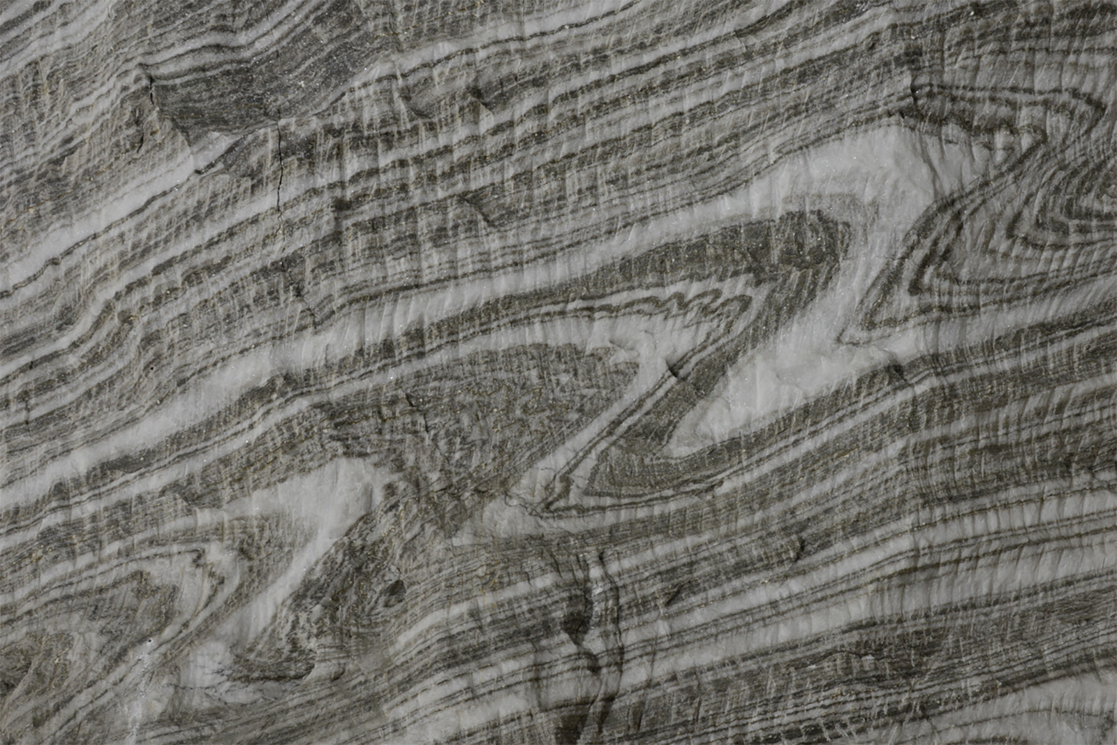
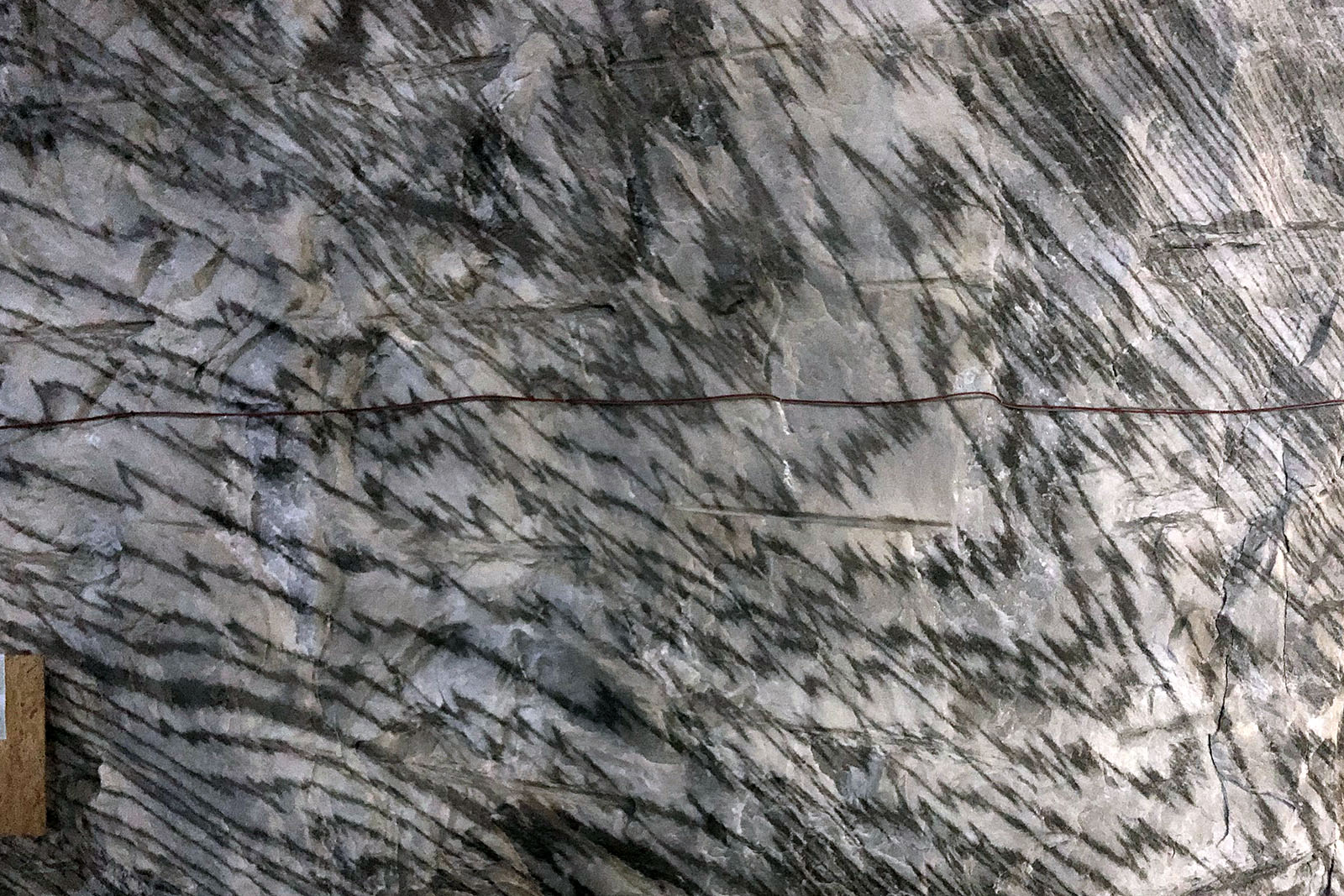
We open at the Ocnele Mari salt mine, in the foreland of the Southern Carpathians, where superb exposures of layered, folded rock salt (over 90% halite) reveal 10 m-scale chevron folds with smaller folds nested in their hinges. The multiscale layering — set by variations in impurity content — makes the salt mechanically stratified and anisotropic. We use it to discuss how salt behaves over geological time and what that means for the design and safety of storage caverns.
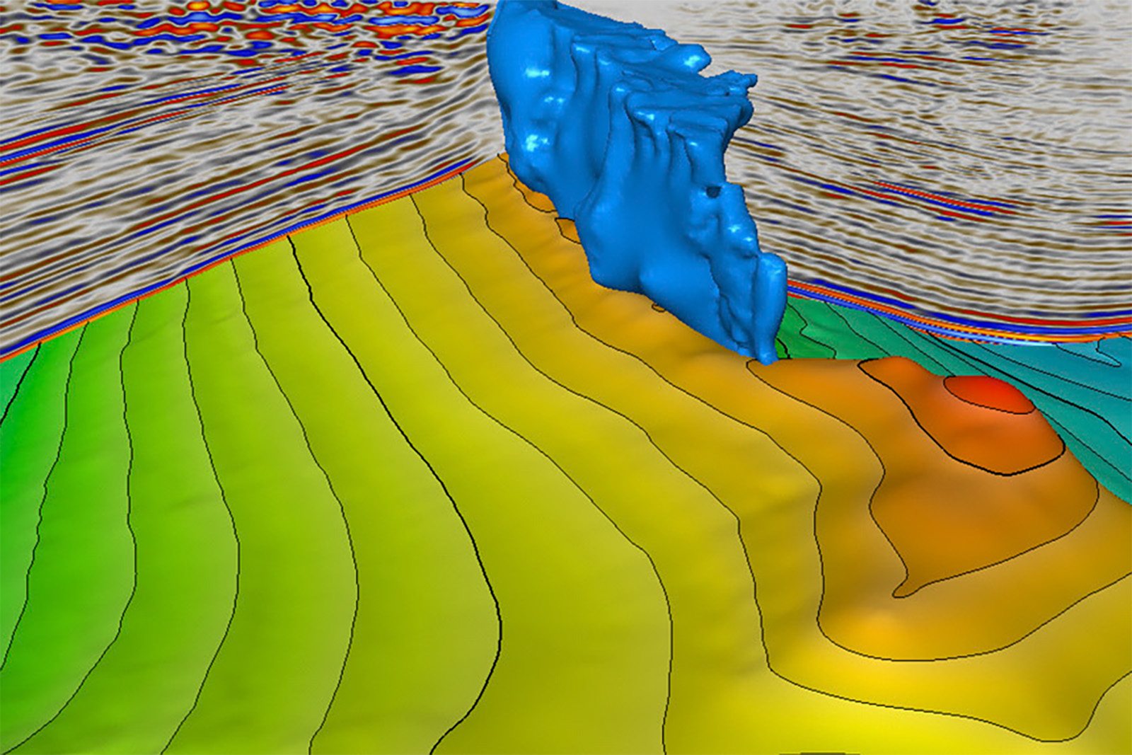
A day in the Diapir Fold Zone — the most prolific onshore hydrocarbon area in Romania and the type area for the term “diapir”. From the salt at Ocnița near Târgoviște to the Moreni–Băicoi diapir lineament, we examine surface salt structures and their relationship to the region's oil fields, and trace how ideas about salt in orogenic settings evolved here.
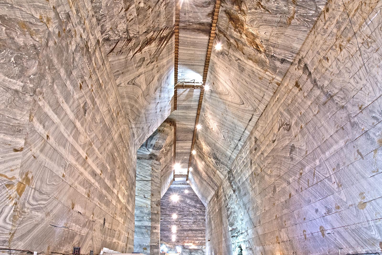
Travelling towards our base at Berca, with a stop near Brebu en route, the day centres on the Slănic Prahova salt mine in the Diapir Fold Zone of the Bend Zone. Closed to extraction but open to visitors — with salt also exposed at surface — its Unirea galleries (mined 1943–1970, base level ~208 m below surface, ceilings some 60–70 m high) reveal metre-scale isoclinally folded halite in grey, white and black colour bands, with boudinaged anhydrite-rich layers, recording Wallachian-phase shortening. We use the mine to read salt flow and the structure of the Slănic syncline within the Tarcău nappe.
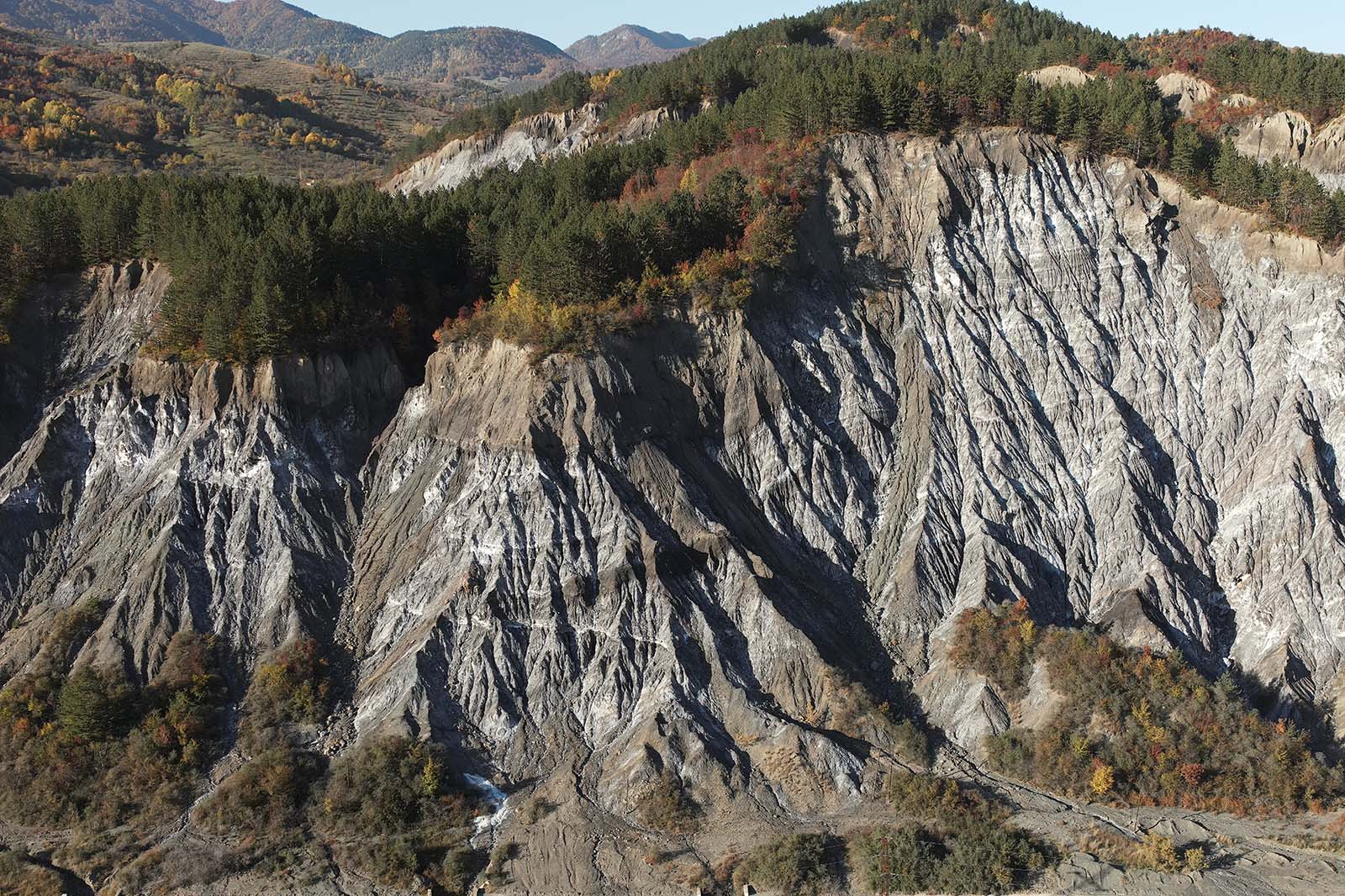
The Mânzălești diapir is the largest rock-salt outcrop in Europe — about 2.7 by 1.3 km at surface, above salt whose base lies at roughly 3,500 m. Unlike the sub-vertical fabric of most Romanian diapirs, it shows a sub-horizontal foliation with isoclinal folds and low-angle shear zones, interpreted as the sheared, decapitated top of a deep salt-cored structure overridden by the advancing Tarcău nappe. We examine its impure, inclusion-rich halite and its spectacular salt-karst geomorphology and dissolution features — it hosts the longest salt cave in Europe — and discuss the remarkably fast present-day uplift of the diapir revealed by radiocarbon dating and satellite (PSInSAR) data.
The final day is at the Târgu Ocna salt mine, on the Trotuș River in the Eastern Carpathian Diapir Fold Zone. Still active and open to visitors, its roughly 250 m-deep workings expose ductilely folded halite (85–99%, with traces of polyhalite and sylvite) and shaly, sandy and marly intercalations near the diapir margins, letting us read the internal structure of the diapir on the mine pillars.
The three-day programme can be extended with additional days and stops, for example:
An additional day in the Tazlău Valley, examining the Oligocene–lower Miocene source-rock and reservoir succession of the flysch belt.
An additional day at the Cacica salt mine in the northern Eastern Carpathians, adding another contrasting salt-mine exposure to the traverse.
A background in geology or a related geoscience is recommended; the course suits practising professionals and postgraduate students alike, and no prior experience with salt tectonics is required.
The course involves visits to several show mines (reached by stairs or mine transport, with walking over uneven underground floors) and surface fieldwork over uneven terrain, on a multi-day itinerary with significant travel. A reasonable level of fitness is required; the mines are cool year-round, so warm clothing is advised.